Super El Nino explained: why 2026’s is the strongest on record
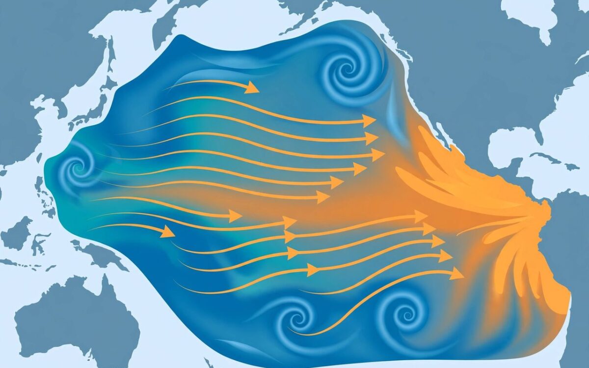
El Nino is a natural climate pattern that reshapes weather across the world. Here is why the 2026 event is making history.
El Nino forms when warm surface water piles up in the central and eastern Pacific, weakening trade winds in a feedback loop that pushes even more warm water east. Its strength is measured by the Nino 3.4 index, tracking how much warmer the water is than average.
On September 21, the anomaly reached 3.08 degrees Celsius above the 1991 to 2020 average, beating the 2015 record of 3.02 degrees. Sea surface temperatures in the key region hit 85.73 degrees Fahrenheit on September 29.
Strong El Ninos typically peak in winter, and every strong one on record has kept strengthening after mid-September. This one emerged in June and is still intensifying.
The effects reach everywhere: droughts, floods, heatwaves and severe storms. In India, the monsoon has already run below average. The peak is still to come.
Related stories
View all →
Bitcoin’s $83,000 rebound explained
Why bitcoin bounced above $83,000: Trump's Iran statement, ETF outflows, and the key levels traders watch.

Starlink Mobile explained: SpaceX’s carrier play
How SpaceX's 800 MHz spectrum deal and 15,000 new satellites could turn Starlink Mobile into a US carrier.

El Nino explained: why Maharashtra is parched
What El Nino is, how it weakens the monsoon, and why it left Maharashtra declaring drought in 265 talukas.

Khabar 24h Editorial Desk — our explainers are prepared by the Khabar 24h editorial team using AI-assisted research tools, and every piece is reviewed by a human editor before publishing. We do not claim original reporting: our work is turning complex topics into simple, accurate summaries. Spotted an error? Write to contact@khabar24h.com — our corrections policy aims for same-day review.
More from this author →
Leave a Reply