What Category 3 Landfall Means for Florida: Isaias Explained
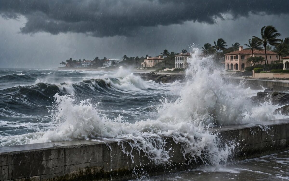
Hurricane Isaias strengthened fast over the Gulf, and forecasters now expect it to hit Florida as a major hurricane. Here is what the warnings mean.
A Category 3 storm has sustained winds of at least 111 mph. Forecasters call Category 3 and above ‘major hurricanes’. Isaias reached 120 mph on Friday morning. Strong upper-level winds may weaken it slightly before landfall, but it will still be dangerous.
Storm surge is the deadliest threat. It is a sudden rise in sea water pushed ashore by the storm. The center forecasts up to 9 feet of surge along the Florida-Alabama coast. Surge can kill far from where a storm lands. During Hurricane Helene in 2024, surge killed people more than 120 miles from landfall.
Wind and rain add to the danger. Hurricane-force winds reach 30 miles from Isaias’s center. Heavy rain of 4 to 8 inches can cause flooding inland, with up to 15 inches in parts of the Panhandle.
Tornadoes can also spin up along the coast Friday night into Saturday. Officials urge anyone told to evacuate to leave.
Related stories
View all →
Bitcoin’s $83,000 rebound explained
Why bitcoin bounced above $83,000: Trump's Iran statement, ETF outflows, and the key levels traders watch.

Starlink Mobile explained: SpaceX’s carrier play
How SpaceX's 800 MHz spectrum deal and 15,000 new satellites could turn Starlink Mobile into a US carrier.

El Nino explained: why Maharashtra is parched
What El Nino is, how it weakens the monsoon, and why it left Maharashtra declaring drought in 265 talukas.

Khabar 24h Editorial Desk — our explainers are prepared by the Khabar 24h editorial team using AI-assisted research tools, and every piece is reviewed by a human editor before publishing. We do not claim original reporting: our work is turning complex topics into simple, accurate summaries. Spotted an error? Write to contact@khabar24h.com — our corrections policy aims for same-day review.
More from this author →
Leave a Reply