Tsunami Warning: How India Detects Ocean Earthquakes Within Minutes
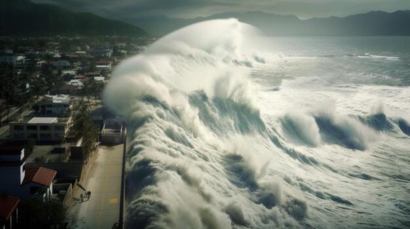
On 26 December 2004, a massive earthquake off Sumatra sent tsunami waves racing across the Indian Ocean, killing over 230,000 people, including more than 10,000 in India, with no warning whatsoever. The catastrophe exposed a shocking gap: the Pacific had a tsunami warning system, the Indian Ocean had none. India vowed never to be caught unprepared again. Today, the Indian Tsunami Early Warning Centre at Hyderabad can detect an ocean earthquake, model the waves and issue warnings within minutes, a system built from seismometers, ocean sensors and supercomputers that now stands guard around the clock.
How tsunamis are born
Most tsunamis begin with undersea earthquakes at subduction zones, where one tectonic plate dives beneath another. When the stuck fault suddenly ruptures, the seafloor lurches vertically by metres, displacing the entire water column above. Unlike wind waves, which disturb only the surface, a tsunami involves the whole ocean depth, giving it enormous energy and a wavelength of hundreds of kilometres. In deep water it travels at jetliner speeds, up to 800 kilometres per hour, but with a height under a metre, passing unnoticed beneath ships. It turns deadly only when the shallowing coast forces that energy upward into towering walls of water.
Detecting the earthquake in minutes
Warning starts with seismology. India’s network of broadband seismometers, linked to global stations, detects the seismic waves within a couple of minutes and automatically estimates the quake’s location, depth and magnitude. Software flags events with tsunami potential: shallow, large-magnitude quakes under or near the ocean. But not every big quake makes a tsunami; strike-slip faults that slide horizontally displace little water. So the system needs a second opinion from the ocean itself.
Sensors that watch the sea
That second opinion comes from the ocean observing system. Bottom pressure recorders anchored to the deep seafloor detect the tiny pressure change of a passing tsunami wave, even in the open ocean, and relay it via surface buoys to satellites. Tide gauges along the coast watch for the sea’s anomalous withdrawal or surge.
- Seismometers: detect and locate the undersea earthquake within minutes.
- Bottom pressure recorders: confirm a real tsunami wave in the deep ocean.
- Tide gauges: measure the wave’s height as it approaches the shore.
- Scenario database: pre-computed models give instant arrival-time estimates.
- Sirens and SMS: carry the alert from the warning centre to coastal communities.
India’s system integrates data from its own moored buoys in the Bay of Bengal and Arabian Sea with international networks. When seismic and sea-level data agree, the warning is real; when they disagree, costly false alarms are avoided.
From detection to warning
Once a tsunami is confirmed, the race is computational. Pre-computed scenario databases, thousands of simulated earthquakes and their wave patterns, let the centre match the live event to the closest scenario in seconds. Models then forecast wave arrival times and heights for every coastal stretch, and warnings go out through multiple channels: direct lines to national and state disaster agencies, SMS and cell broadcast, sirens, television and radio. The target is a first bulletin within 10 minutes of the quake. Regular mock drills, including the biennial IOWave exercises with two dozen Indian Ocean nations, keep the chain of communication oiled.
What warning can and cannot do
Honesty about limits matters. For coastlines near the earthquake, the waves may arrive in 20 to 30 minutes, leaving little time even with a perfect system; the 2004 waves hit nearby Sumatra in under half an hour. Warning works best for distant shores, which get hours. And the system only helps if people know how to respond: recognising the ocean’s sudden withdrawal as nature’s own warning, knowing evacuation routes, and moving to high ground immediately. Technology buys precious time; preparedness spends it wisely.
FAQs
Could a 2004-scale tsunami hit India again? The risk persists; the Andaman-Sumatra and Makran subduction zones can both generate tsunamis affecting Indian coasts, which is exactly why the warning system exists.
How much warning would Chennai get? For a Sumatra earthquake like 2004, roughly two hours; for a Makran event affecting Gujarat, a similar window. Near-field events allow far less.
Do all undersea quakes cause tsunamis? No. Only shallow, large quakes with significant vertical seafloor displacement do; most undersea quakes are harmless.
India’s tsunami warning system is a promise forged in tragedy: that the ocean will never again strike without warning. Seismometers listen, buoys watch, and computers model, all so that the next time the seafloor lurches, the coasts will know it is coming.
Source: Indian National Centre for Ocean Information Services

Khabar 24h Editorial Desk — our explainers are prepared by the Khabar 24h editorial team using AI-assisted research tools, and every piece is reviewed by a human editor before publishing. We do not claim original reporting: our work is turning complex topics into simple, accurate summaries. Spotted an error? Write to contact@khabar24h.com — our corrections policy aims for same-day review.
More from this author →