NISAR Beams Back First Radar Images of Earth
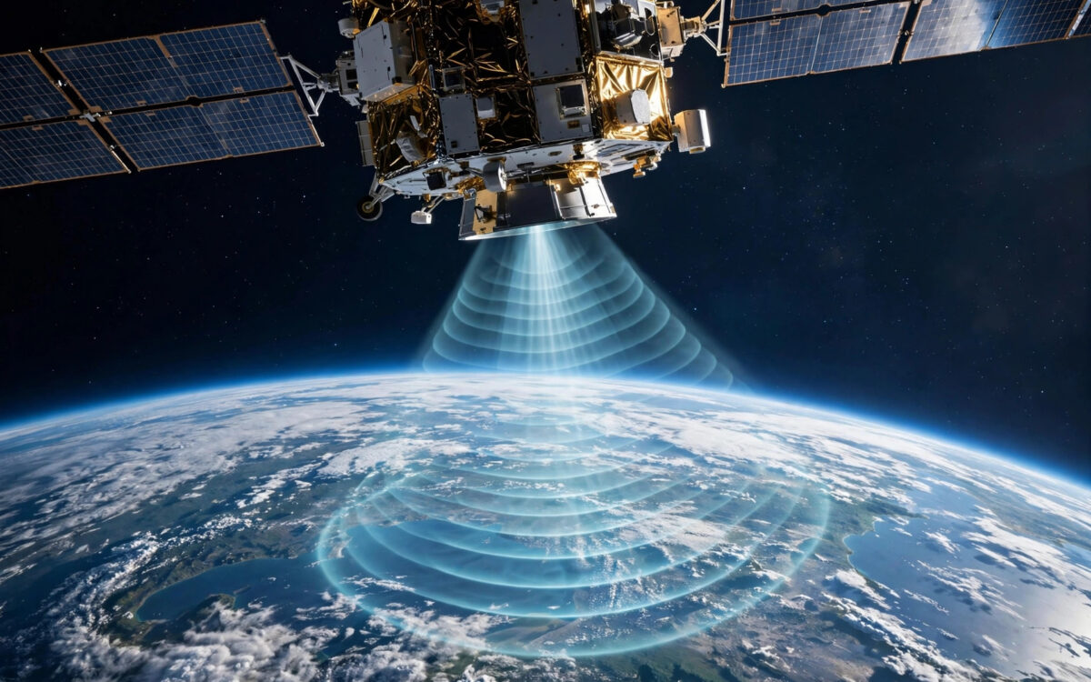
The NISAR satellite, the joint Earth-observation mission of ISRO and NASA, has delivered its first radar images of Earth, marking a major milestone for the most ambitious radar imaging mission ever flown.
The first images, released this week, demonstrate the satellite’s ability to map the planet’s surface in fine detail using synthetic aperture radar. NISAR carries two radar systems, NASA’s L-band and ISRO’s S-band, allowing it to observe Earth day and night and through cloud cover.
Once fully operational, the satellite will scan nearly all of the planet’s land and ice surfaces every 12 days. Scientists will use the data to track glacier movement, deforestation, groundwater changes, earthquake deformation and crop patterns with unprecedented regularity.
The 2,800-kilogram satellite was launched earlier this year after years of joint development between the Indian and American space agencies. It represents the largest cooperative space science project the two countries have undertaken.
Mission officials said calibration of the instruments is progressing and full science operations will begin after the commissioning phase. The data will be freely available to researchers worldwide.

Khabar 24h Editorial Desk — our explainers are prepared by the Khabar 24h editorial team using AI-assisted research tools, and every piece is reviewed by a human editor before publishing. We do not claim original reporting: our work is turning complex topics into simple, accurate summaries. Spotted an error? Write to contact@khabar24h.com — our corrections policy aims for same-day review.
More from this author →
Leave a Reply