AI Maps Guam Reef Damage After Typhoon Mawar
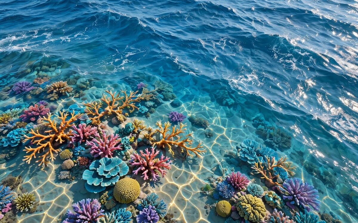
Scientists have mapped an entire coral reef bay in centimetre detail using NASA’s Airborne Fluid Lensing technology and artificial intelligence. The maps reveal heavy damage from Typhoon Mawar.
Researchers surveyed Tumon Bay in Guam in 2022 and again in 2024, before and after the Category 4 typhoon struck in May 2023 with winds of 140 miles per hour. The survey covered more than 5 square kilometres.
The maps revealed a 59% decline in massive coral cover and a 35% decline in coral fore-reef habitat. Algae, which competes with corals for space, increased by 105%.
Fluid Lensing addresses a long-standing imaging problem: waves bend light travelling from the seafloor, blurring conventional aerial images. The technology captures thousands of images in rapid succession and uses the waves’ magnifying effect to reconstruct a clear view.
The findings were published in Frontiers in Marine Science. The researchers said this level of detail can guide restoration and protection efforts.
Related stories
View all →
IMD predicts heavy rain in Kerala, TN, Bengal and Sikkim
The India Meteorological Department has forecast heavy rain in several states on October 9. Isolated places in Kerala, Tamil Nadu and Puducherry…
Hurricane Isaias to Hit Florida Tonight as Major Category 3 Storm
Hurricane Isaias is expected to make landfall near the Florida Panhandle on Friday evening with 111 mph winds, a 9-foot surge and…

Australia’s biggest coal plant to get 8,600 MWh battery
Origin Energy will expand the battery beside Australia's biggest coal station to 8,600 MWh, the country's largest grid battery.

Khabar 24h Editorial Desk — our explainers are prepared by the Khabar 24h editorial team using AI-assisted research tools, and every piece is reviewed by a human editor before publishing. We do not claim original reporting: our work is turning complex topics into simple, accurate summaries. Spotted an error? Write to contact@khabar24h.com — our corrections policy aims for same-day review.
More from this author →
Leave a Reply