Hurricane Polo’s Remnants Threaten Major Southwest Flooding
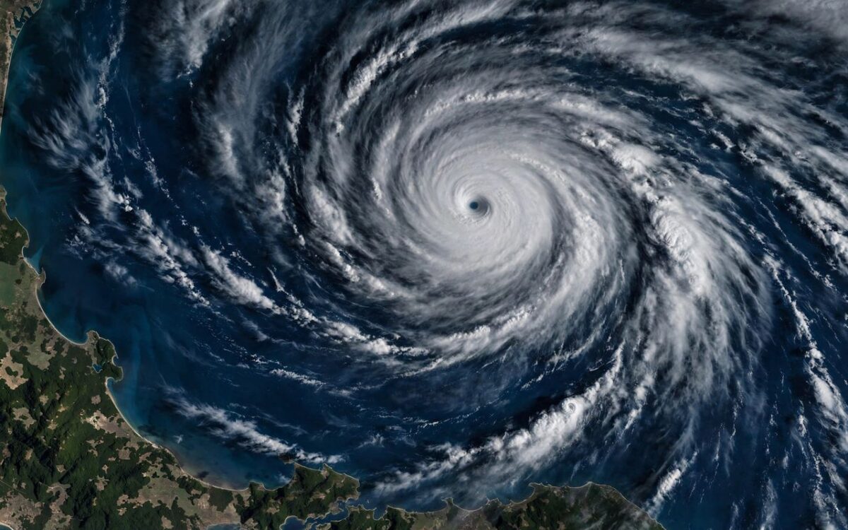
Hurricane Polo carried sustained winds of 125 mph, a Category 3 storm, and was set to make landfall Monday afternoon along the Baja California coast, according to The Weather Channel. The coast faces up to a foot of rainfall, flash flooding and mudslides.
Polo's deep tropical moisture will funnel into the southwestern U.S. in the first half of the week, triggering major flash flooding. Monday's highest risk covers parts of Arizona, New Mexico, Utah and Colorado, with the threat extending from California to Texas.
NOAA's Weather Prediction Center hoisted a moderate risk of excessive rainfall for Monday and Tuesday across the Desert Southwest, mainly north of I-10. Tuesday's threat expands into the Plains, with Arizona, New Mexico and Texas under the greatest risk.
A forecaster for The Eyewall called it possibly "the most serious tropical system related impact in the Continental U.S. this year," with 3 to 6 inches of rain possible in some parts of the Desert Southwest.
Residents across the region should brace for dangerous flash floods through Tuesday as Polo's moisture turns a hurricane landfall into a multi-state flood threat.
Related stories
View all →
Al Gore says 2026 could mark a climate ‘positive tipping point’
Al Gore told the AP that 2026 could mark a positive tipping point on climate as renewables overtake fossil fuels, while warning…

Monsoon Withdraws Further as IMD Forecasts Peninsula Rain Spell
The southwest monsoon has withdrawn across northern India and the IMD forecasts fresh rain and thunderstorms over peninsular India from mid-week.
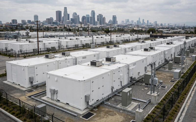
New 20 MW Bronx battery to power 20,000 homes at peak hours
NineDot Energy has energized a 20 MW battery site in the Bronx's Hunts Point, able to power nearly 20,000 homes during peak…

Khabar 24h Editorial Desk — our explainers are prepared by the Khabar 24h editorial team using AI-assisted research tools, and every piece is reviewed by a human editor before publishing. We do not claim original reporting: our work is turning complex topics into simple, accurate summaries. Spotted an error? Write to contact@khabar24h.com — our corrections policy aims for same-day review.
More from this author →
Leave a Reply