New Google Maps Imagery Shows Scale of Gaza Destruction
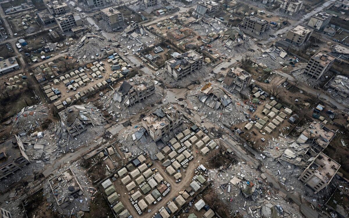
Google Maps has updated its satellite imagery of the Gaza Strip with images captured in January and February 2026, revealing the scale of wartime destruction. In Rafah and Khan Younis, entire residential neighborhoods appear reduced to rubble.
The update covers about 235 square kilometres at roughly 13-centimetre resolution, enough to distinguish individual building walls and tent clusters, according to reports. Apple Maps has not made a comparable update.
Al Jazeera examined related Google Earth imagery from Feb 25, 2026, and found that in Maan, Khan Younis, a cemetery and surrounding homes had vanished, replaced by tents and an Israeli military outpost. UNOSAT’s latest assessment counts 201,290 damaged structures in Gaza, about 82% of all buildings, with 134,422 destroyed.
The imagery went viral online on Sept 27-28, drawing global attention, including from an Irish parliamentarian who shared footage.
Context: the updated maps give the public a rare overhead view of the war’s toll, though they represent only a fraction of the total damage across Gaza.
Related stories
View all →
Ukraine Drone Strike Halts Moscow Oil Refinery
A Ukrainian drone attack halted crude processing at a Moscow oil refinery after fires damaged key units, Reuters reported.
Himlung Avalanche Toll Rises to Four, 12 Missing
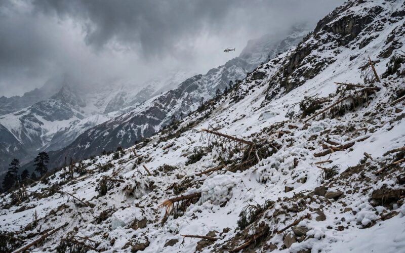
The Himlung avalanche death toll has risen to four as Nepali rescuers recover two more bodies, with 12 people still missing.
Russian Jet Drones Strike Kyiv Science Academy
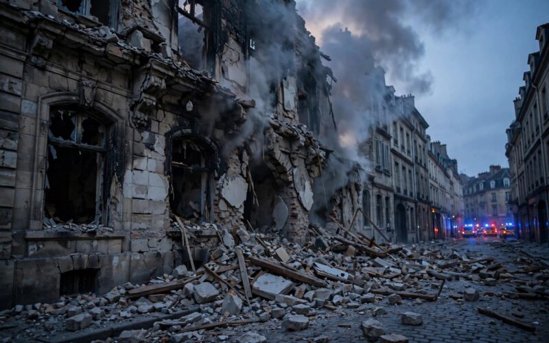
At least one person was killed and 19 injured as Russian jet-powered drones struck Kyiv, hitting the National Academy of Sciences building.

Khabar 24h Editorial Desk — our explainers are prepared by the Khabar 24h editorial team using AI-assisted research tools, and every piece is reviewed by a human editor before publishing. We do not claim original reporting: our work is turning complex topics into simple, accurate summaries. Spotted an error? Write to contact@khabar24h.com — our corrections policy aims for same-day review.
More from this author →
Leave a Reply