TAPAS-1 explained: how thermal imaging tracks heat from space
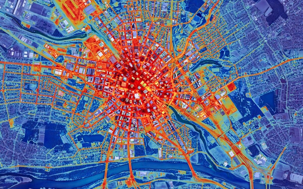
Thermal imaging satellites detect heat, not visible light. TAPAS-1 carries a long-wave infrared sensor that captures thermal radiation from Earth’s surface and converts it into images showing temperature variations across cities, farms, forests and water bodies.
This matters because heat patterns reveal what optical cameras cannot. A city block that is dangerously hotter than its surroundings signals an urban heat island. Temperature shifts in soil and plants can flag crop stress before it is visible. Hotspots in forests can mean an early wildfire.
SatLeo’s TAPAS-1, launched October 1 on a SpaceX Falcon 9, will orbit 500 km up and feed data for agriculture, urban heat management, water stress monitoring, industrial and disaster monitoring and climate studies. Artificial intelligence can analyse the thermal data for sharper insights.
The satellite is a 3-kg CubeSat-class payload. SatLeo plans eight more by 2029 and a 10-15 satellite constellation, with TAPAS-2 targeted for mid-2027. The mission marks a milestone for India’s private space sector, which is moving beyond launch services into specialised Earth observation.
Related stories
View all →
Bitcoin’s $83,000 rebound explained
Why bitcoin bounced above $83,000: Trump's Iran statement, ETF outflows, and the key levels traders watch.

Starlink Mobile explained: SpaceX’s carrier play
How SpaceX's 800 MHz spectrum deal and 15,000 new satellites could turn Starlink Mobile into a US carrier.
El Nino explained: why Maharashtra is parched
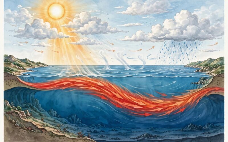
What El Nino is, how it weakens the monsoon, and why it left Maharashtra declaring drought in 265 talukas.

Khabar 24h Editorial Desk — our explainers are prepared by the Khabar 24h editorial team using AI-assisted research tools, and every piece is reviewed by a human editor before publishing. We do not claim original reporting: our work is turning complex topics into simple, accurate summaries. Spotted an error? Write to contact@khabar24h.com — our corrections policy aims for same-day review.
More from this author →
Leave a Reply