What a Record-Strong El Nino Means for Heat and Rain: Explained
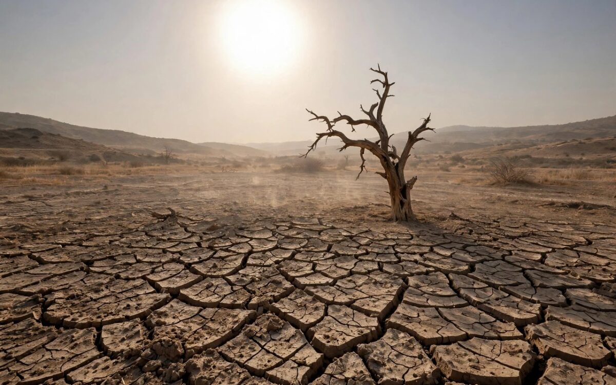
The World Meteorological Organization says the current El Nino could be one of the strongest ever recorded. Here is what that means for the planet.
El Nino is a natural warming of the tropical Pacific Ocean that shifts weather worldwide. The key measure, the Nino 3.4 index, rose from 1.6 degrees Celsius above normal in June to 2.5 degrees in August. It is forecast to hit 3.7 degrees for October to December.
That would top the previous record of 2.6 degrees from 2015-16. The WMO says there is a near-100 per cent chance the event will last through February 2027.
The impacts are broad. Forecasters expect drier-than-average conditions over the Indian subcontinent, southern Central America and parts of the Caribbean. The Greater Horn of Africa and parts of Central and East Asia could see wetter conditions.
Heat is a major concern. WMO chief Celeste Saulo said El Nino does not create new heat but releases stored ocean heat into the atmosphere. One research group estimated the event could cause up to 451,000 excess deaths between June 2026 and February 2027.
Related stories
View all →
Bitcoin’s $83,000 rebound explained
Why bitcoin bounced above $83,000: Trump's Iran statement, ETF outflows, and the key levels traders watch.

Starlink Mobile explained: SpaceX’s carrier play
How SpaceX's 800 MHz spectrum deal and 15,000 new satellites could turn Starlink Mobile into a US carrier.

El Nino explained: why Maharashtra is parched
What El Nino is, how it weakens the monsoon, and why it left Maharashtra declaring drought in 265 talukas.

Khabar 24h Editorial Desk — our explainers are prepared by the Khabar 24h editorial team using AI-assisted research tools, and every piece is reviewed by a human editor before publishing. We do not claim original reporting: our work is turning complex topics into simple, accurate summaries. Spotted an error? Write to contact@khabar24h.com — our corrections policy aims for same-day review.
More from this author →
Leave a Reply