NASA-ISRO Radar Captures Kamchatka Volcano Eruption in Time-Lapse
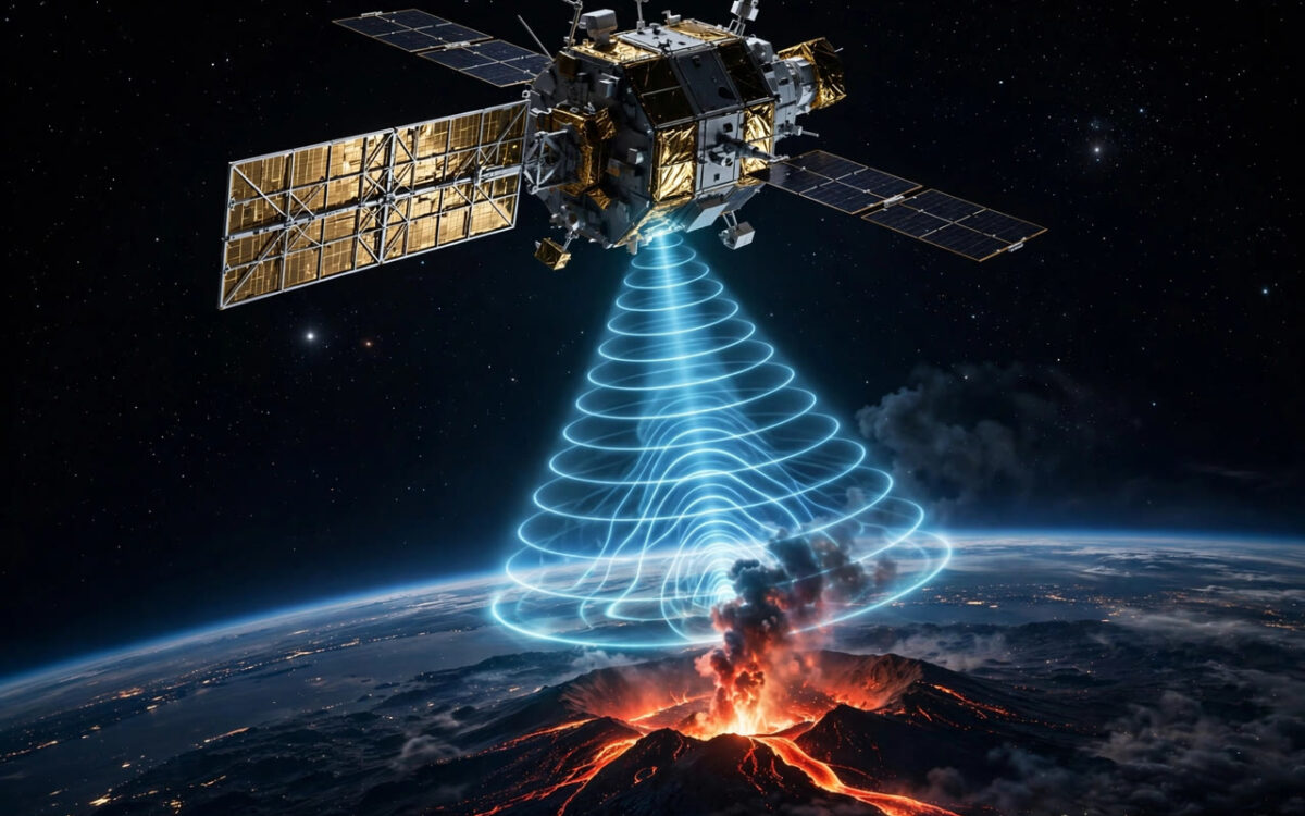
NASA has released a radar time-lapse from the NISAR satellite showing lava spreading from the northern crater of the Krasheninnikov volcano in Kamchatka.
The sequence, released on September 24, stitches together 17 frames captured between December 2025 and mid-August 2026. NISAR's radar can see through clouds and darkness, making it ideal for tracking remote eruptions.
Krasheninnikov began erupting for the first time since around 1550 after a massive magnitude 8.8 earthquake struck the region on July 30, 2025. The volcano is one of the most active features on the Kamchatka Peninsula.
NISAR is a joint mission of NASA and ISRO, launched to monitor Earth's changing surface. Scientists said the data will help track volcanic hazards and ground deformation around the world.
The satellite uses two radar systems to map the planet's surface in fine detail. The mission is expected to operate for several years, tracking earthquakes, ice melt and forest changes. Scientists said the Kamchatka data will help them understand how earthquakes can trigger volcanic eruptions.
Related stories
View all →
Saturn’s moon Enceladus boosts alien life search
Two new studies suggest Enceladus' plumes concentrate ocean chemistry and that Earth microbes can grow in simulated conditions of its ocean.

JWST spots elusive molecule around dying star
JWST detected the methyl radical around dying star SMP LMC 011, the first secure case around an evolved star, hinting at aromatic…
Blood tests reveal why astronauts get constipated
Blood samples from 52 astronauts show gut bacteria switch from fibre to protein fermentation in microgravity, explaining space constipation.

Khabar 24h Editorial Desk — our explainers are prepared by the Khabar 24h editorial team using AI-assisted research tools, and every piece is reviewed by a human editor before publishing. We do not claim original reporting: our work is turning complex topics into simple, accurate summaries. Spotted an error? Write to contact@khabar24h.com — our corrections policy aims for same-day review.
More from this author →
Leave a Reply