Lost Inca Roads Resurface Near Machu Picchu
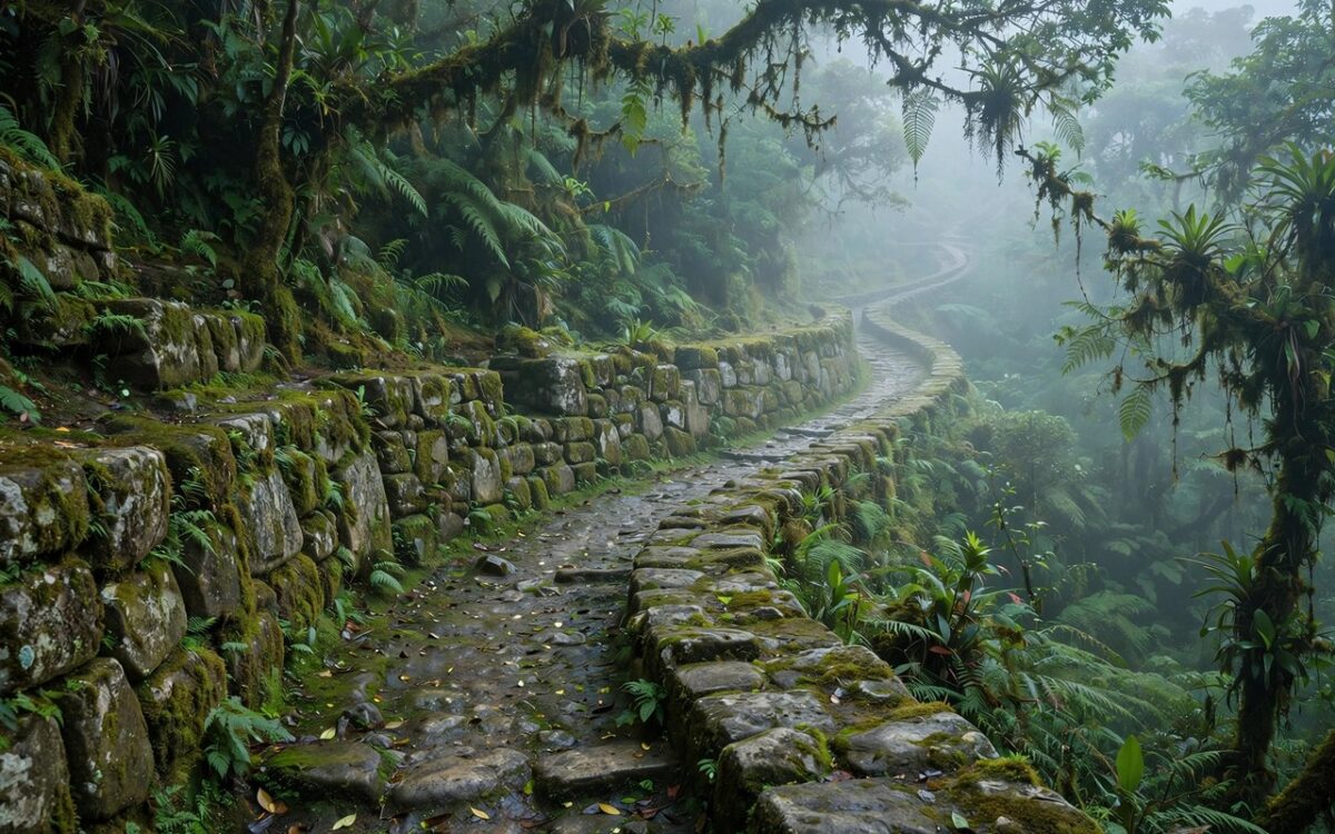
Archaeologists have mapped more than 2.5 kilometers of previously unknown Inca roadways near Machu Picchu in Peru, long hidden beneath dense tropical forest.
A Polish-Peruvian research team used drone-based LiDAR scanning to map the ground beneath the vegetation during fieldwork in late July and early August 2026. The roads lead toward platforms and terraces near the Mandor Wall, on the opposite side of the Urubamba Valley from the main Machu Picchu complex.
More than 60 archaeological sites have already been documented in the national park, most connected by roads on the left bank of the Urubamba River. The newly found roads show significant Inca construction also happened on the opposite side of the valley.
The team includes researchers from the University of Warsaw, Wroclaw University of Science and Technology and Peruvian institutions. Exact locations have not been revealed because of looting concerns. "There will definitely be at least twice as many," said Prof. Mariusz Ziolkowski. A field campaign in the 2027 season will complete the surveys before partial excavations begin.
Reporting based on: thedebrief.org, archaeologymag.com.
Related stories
View all →
48 Stone Age arrowheads recovered from Norway glaciers
Scientists recovered 48 Stone Age arrowheads in Norway's glacial archaeology expedition, now in its 20th year. Why it matters.

Anne Carson Wins 2026 Nobel Prize in Literature
Canadian poet Anne Carson has won the 2026 Nobel Prize in Literature for her bold, genre-defying body of work.

Jackson’s Thriller Jacket Heads to Abu Dhabi Auction
Julien's Auctions will sell Michael Jackson's Thriller jacket and Motown 25 glove in Abu Dhabi on December 7, with the glove estimated…

Khabar 24h Editorial Desk — our explainers are prepared by the Khabar 24h editorial team using AI-assisted research tools, and every piece is reviewed by a human editor before publishing. We do not claim original reporting: our work is turning complex topics into simple, accurate summaries. Spotted an error? Write to contact@khabar24h.com — our corrections policy aims for same-day review.
More from this author →
Leave a Reply