India Names 28 Ladakh Sites, Including Gogra, on Official Map
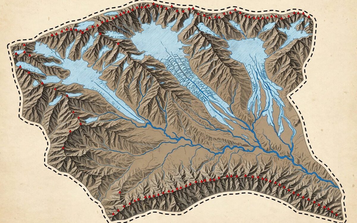
The Centre has formally identified 28 places and geographical features in Ladakh on the official Survey of India map. The Ministry of Home Affairs announced the move on October 2 after consulting the Union Territory of Ladakh.
The list includes Gogra and Hot Spring, which were friction points during the 2020 military standoff with China. The other sites include peaks, passes, glaciers, valleys, rivers, lakes and land areas. Zorawar Peak is named after 19th-century Dogra commander General Zorawar Singh. The list also has Milarepa Kangri, Parpik and Skamri glaciers, and Guru Rinpoche Lake.
The ministry said the aim is accurate recognition of the sites and better public awareness. Standardised names on official maps carry administrative and legal value. They turn territorial claims into formal cartographic records.
The Ladakh standoff began in May 2020 with clashes near Pangong Tso and in Galwan valley. Both sides began disengagement in 2022 and reached a patrolling understanding in October 2024.
Related stories
View all →
Bitcoin’s $83,000 rebound explained
Why bitcoin bounced above $83,000: Trump's Iran statement, ETF outflows, and the key levels traders watch.

Starlink Mobile explained: SpaceX’s carrier play
How SpaceX's 800 MHz spectrum deal and 15,000 new satellites could turn Starlink Mobile into a US carrier.
El Nino explained: why Maharashtra is parched
What El Nino is, how it weakens the monsoon, and why it left Maharashtra declaring drought in 265 talukas.

Khabar 24h Editorial Desk — our explainers are prepared by the Khabar 24h editorial team using AI-assisted research tools, and every piece is reviewed by a human editor before publishing. We do not claim original reporting: our work is turning complex topics into simple, accurate summaries. Spotted an error? Write to contact@khabar24h.com — our corrections policy aims for same-day review.
More from this author →
Leave a Reply